Engineering software for planning large-scale
ground-mounted PV systems on real terrain
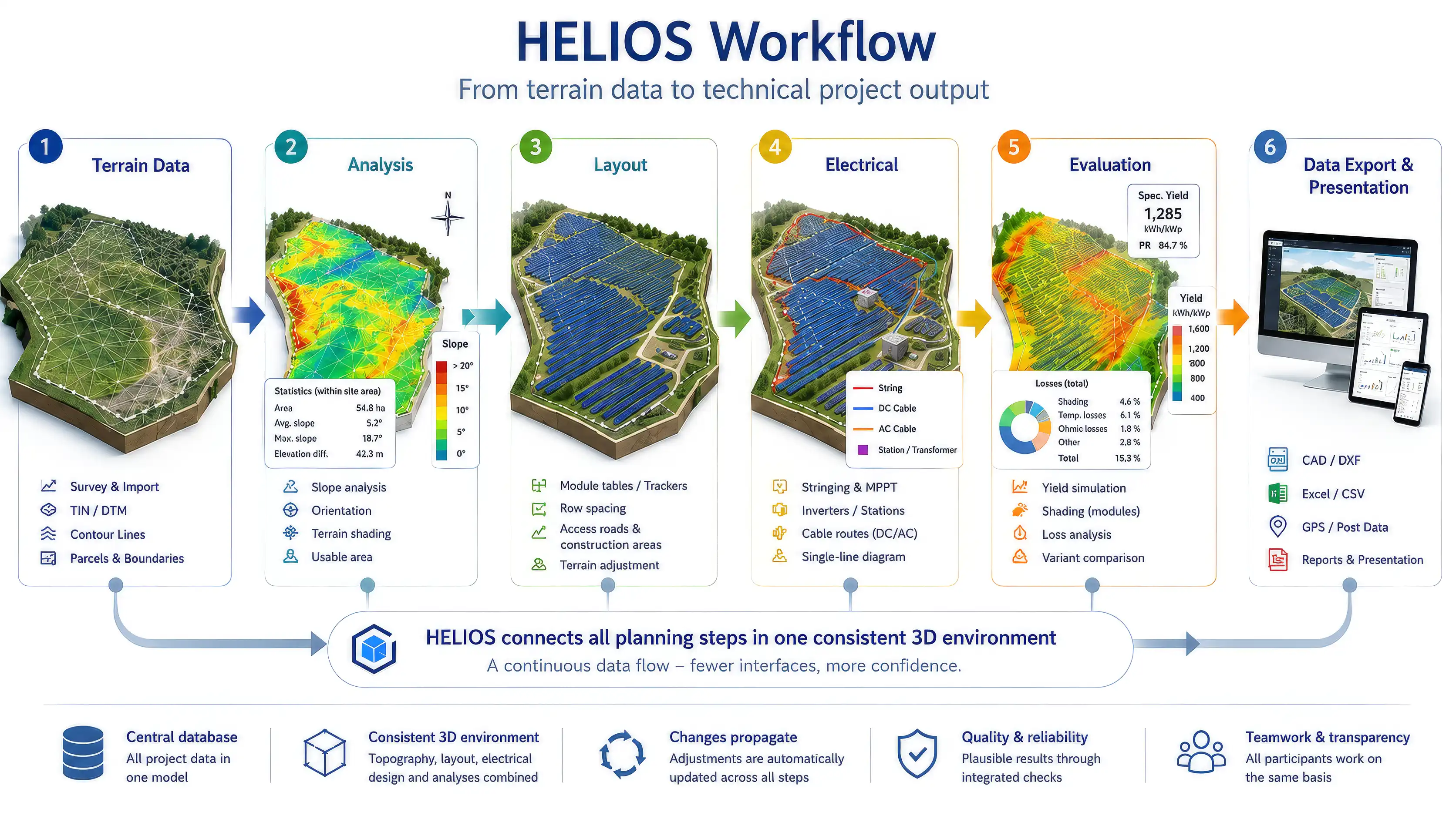
HELIOS 3D integrates TIN-based terrain analysis, racking and tracker layout, local grading, electrical design, loss calculation, and executable project data into a seamless AutoCAD Civil 3D workflow.
For project developers, EPCs, and engineering firms handling utility-scale PV projects from preliminary planning to detailed design.
The HELIOS 3D HELP CENTER provides comprehensive documentation and practical guidance for working with HELIOS 3D.
Developed since 2010 for the planning of large-scale PV plants
Accurate Terrain Mapping:
Employs detailed digital terrain data (TIN surface) for precise solar rack placement, ensuring terrain accuracy without surface interpolation, crucial for project authenticity.
Precise Local Grading:
Utilizes high-precision local grading under each solar rack, reducing earthwork and optimizing resource use, with user-defined tolerances for "Cut" and "Fill."
Comprehensive Electrical Layout:
Seamlessly integrates all electrical components, from solar modules to grid connection, for efficient planning and calculation of electrical parameters like voltage drop and power loss.
Precise Calculations for Cables and Losses:
Calculates cable lengths and device losses with technical precision, enhancing overall system performance.
Yield Estimation:
Incorporates an integrated yield estimation tool using Meteotest weather data for accurate predictions, essential for project viability and design optimization.
Requirement Type Zones:
Adapts rack designs to meet specific structural or environmental conditions within the project, enhancing durability and efficiency.
Immersive Virtual Reality Visualization and Analysis:
The HELIOS 3D Viewer offers a high-fidelity VR experience for project visualization, featuring realistic terrain representation, shading studies, and energy performance analysis, along with high-resolution screenshot capabilities.
SQL-Database Integration:
Facilitates global collaboration with a centralized database for storing articles, user rights, and project data, ensuring data security and streamlined teamwork.
Secure Data and License Key Sharing via VPN:
Supports VPN integration for secure data and license key sharing across global and remote teams, ensuring the protection of sensitive information and enhancing collaborative efforts.
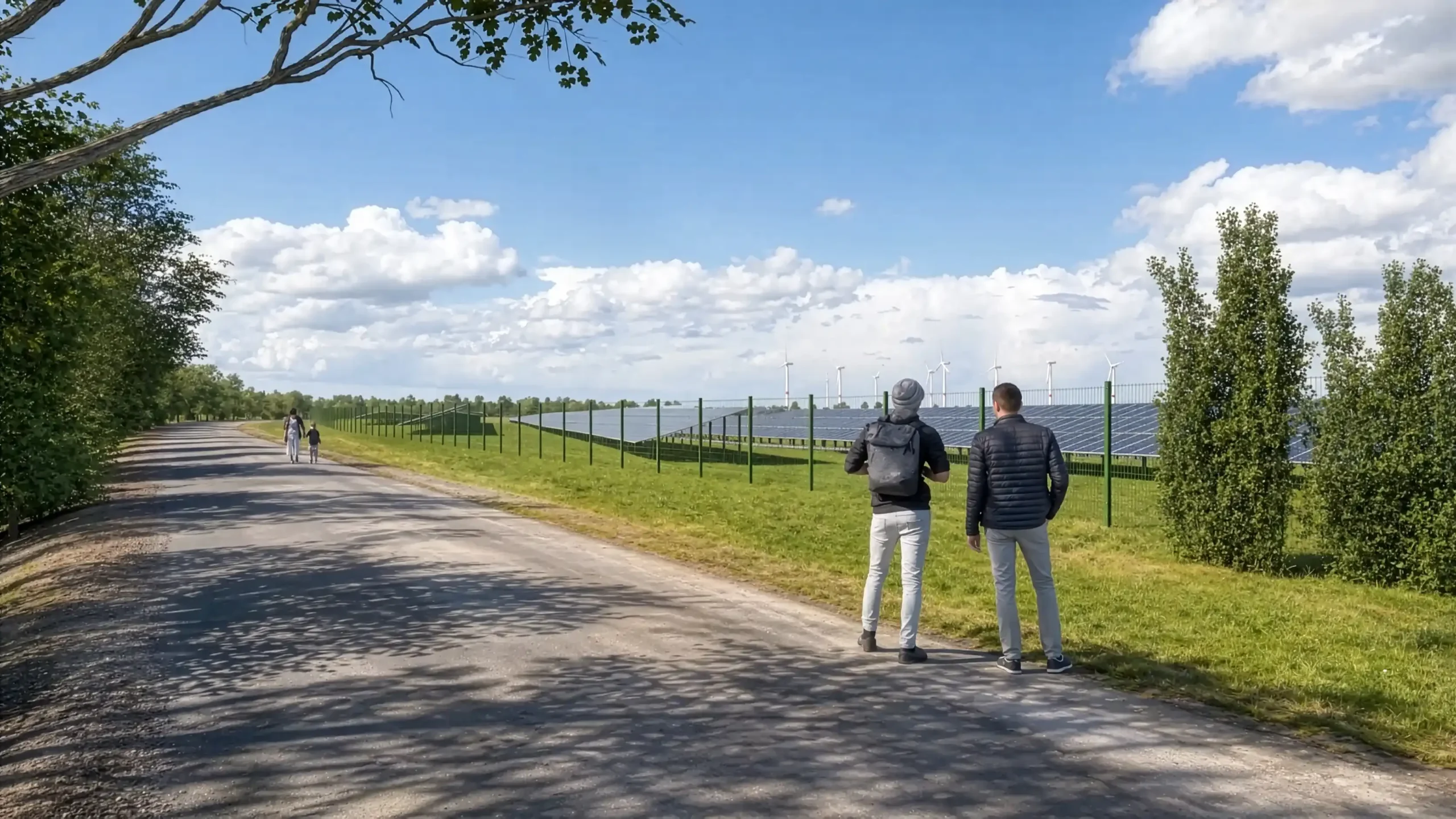
We provide photorealistic solar park visualizations as a Service. Photorealistic visualizations make planned ground-mounted PV systems easy to understand - whether for permitting processes, public consultation, investor presentations, or internal project coordination.